
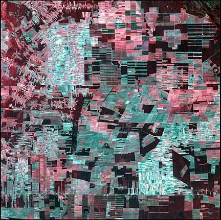
The following images come from the USGS Earth Resources Observation and Science Center whose acronym is (yes, it really is) EROS. The EROS Center has an incredible slideshow of satellite images of our one, our only home.
"Our common home," as the subtitle to Pope Francis' encyclical, Laudato Si', reminds us.


"Our common home," as the subtitle to Pope Francis' encyclical, Laudato Si', reminds us.

Edrengiyn Nuruu August 1, 1999. The Edrengiyn Nuruu forms a transition zone between the Mongolian steppes to the north and the arid deserts of northern China to the south.

Karman Vortices September 1, 1999. Each of these swirling clouds is a result of a meteorological phenomenon known as a Karman vortex. These vortices appeared over Alexander Selkirk Island in the southern Pacific Ocean. Rising precipitously from the surrounding waters, the island's highest point is nearly a mile (1.6 km) above sea level. As wind-driven clouds encounter this obstacle, they flow around it to form these large, spinning eddies.

Lena Delta July 1, 2001. The Lena River, some 2,800 miles(4,500km) long, is one of the largest rivers in the world. The Lena Delta Reserve is the most extensive protected wilderness area in Russia. It is an important refuge and breeding grounds for many species of Siberian wildlife.

Dragon Lake December 1, 1999. Nicknamed "Dragon
Lake," this body of water is formed by the Bratskove Reservoir, built
along the Angara River in southern Siberia, near the city of Bratsk. This image
was acquired in winter, when the lake is frozen.
Bolivian Deforestation August 1, 2000. Once a vast carpet of healthy vegetation, the Amazon rain forest is changing rapidly. This image of Bolivia shows dramatic deforestation in the Amazon Basin. Loggers have cut long paths into the forest, while ranchers have cleared large blocks for their herds. Fanning out from these clear-cut areas are settlements built in radial arrangements of fields and farms. Healthy vegetation appears bright red in this image.